- Home
- Design
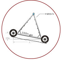
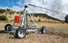
Our pivots can work not only on flat land but also on sloped and hilly terrain. The calculation of the pivot slope’s limitation can help farmers to understand how to get the machine’s maximum use of the land.
If you are not sure of your calculation, please contact us directly.
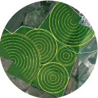
Even in this day and age, we will come across numerous farmers that are not well informed about the makings of an irrigation system, let alone how to be cost efficient. This is not an issue, however, because we are going to help you with that!
To design a perfect irrigation system, you need a lot of knowledge about irrigation as well as involved equipment including pipes and pumps. We use highly specialized irrigation design software that is also capable of handling the design of a water distribution system. The software uses Google Earth data to create topographic maps of the land that needs irrigation. We ask our customers to send us a map of their land using Google Earth in a KML file. Having this resource allows us to include key elements such as elevation, boundaries, and water sources, all at an extremely low cost. Google Earth is usually more accurate than a traditional land survey and is certainly much more cost effective.
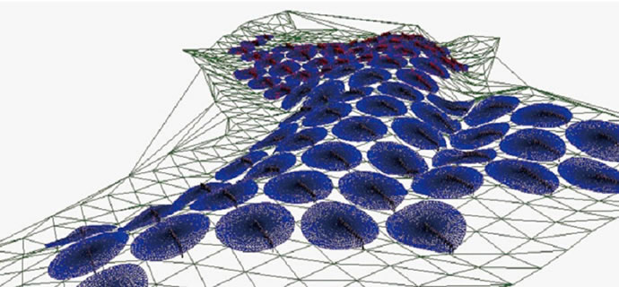
Rainfine uses satellite global images data and software to create topographic maps of farmers’ lands, which is then used to calculate the charge head of the pump station and the pipe pressure of the water transfer system according to the water application rate of the center pivot or lateral move system. No matter where you are located, we’ll help you gain a clear picture of the investment and irrigation budget of our systems free of charge!

